procedural-art
Health Warn
- License — License: Apache-2.0
- Description — Repository has a description
- Active repo — Last push 0 days ago
- Low visibility — Only 5 GitHub stars
Code Warn
- network request — Outbound network request in docs/app/app.js
- network request — Outbound network request in docs/app/terrain.js
Permissions Pass
- Permissions — No dangerous permissions requested
No AI report is available for this listing yet.
Real mountains, glass and paintings made with code and real elevation data. No image model. Two Claude skills.
procedural-art
Real mountains, glass and paintings made with code and real elevation data. No image model.
Two Claude skills. Name any mountain on Earth and get an engraving, a woodcut, a photograph, or a painting of it.




Try any mountain in your browser · Showcase · Studios · Latest release · Changelog
It started as an attempt to recreate an AI-generated header of Mount Ararat with math instead of a model, drawn from the real mountain's elevation. From there it grew into two skills:
| Skill | What it makes |
|---|---|
| procedural-terrain-art | Any real mountain, range, canyon or island in six print styles, looping orbit videos, and a self-contained interactive studio page. |
| procedural-realism | Photographic terrain (sky, haze, snow, lakes, forests, city lights, sun timelapses), a path tracer for glass and metal still lifes, and a painterly finisher for any image. |
Every terrain pixel comes from SRTM-derived elevation, numpy and physics. Nothing is downloaded except elevation tiles, and no generative model is involved at any step.
Any mountain, in your browser
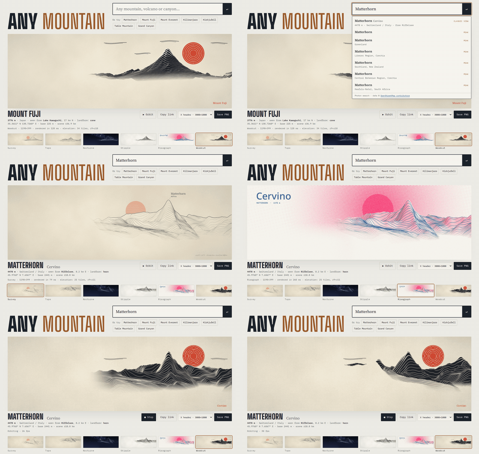
Any mountain is the terrain engine as a web page. Type a peak, volcano or canyon, drag the viewpoint on the map, pick a style, and save a 3000 × 1000 header (or a LinkedIn, YouTube or wallpaper size). The page downloads 20 to 40 elevation tiles and measures the landform itself, so there is no server; a copied link reopens the same mountain, view and style. It draws with the same code as the studios below. 94 well-known peaks come with their classic viewpoint; anything else found on OpenStreetMap gets an automatic one.
One mountain, six prints
Masis and Sis (Ararat) seen from Yerevan. Same elevation grid, same hidden-line buffer, six ways of drawing it.
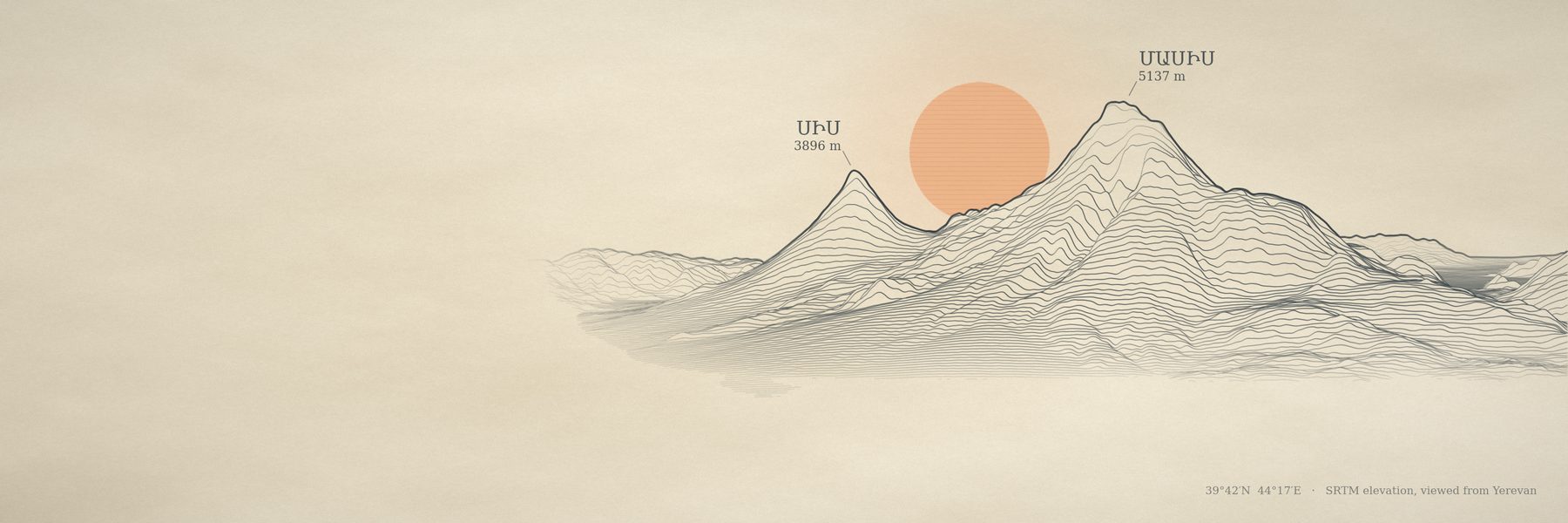 survey |
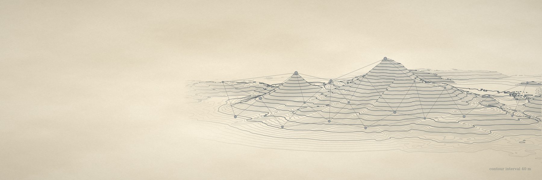 topo |
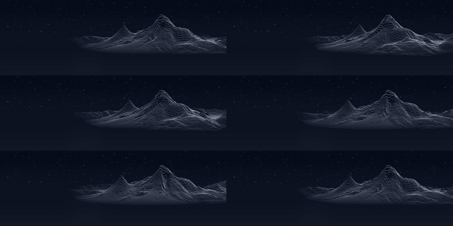
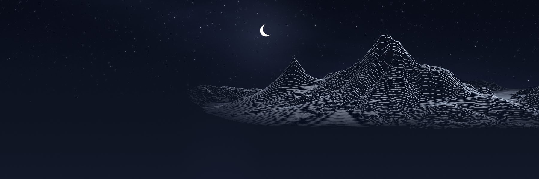 nocturne |
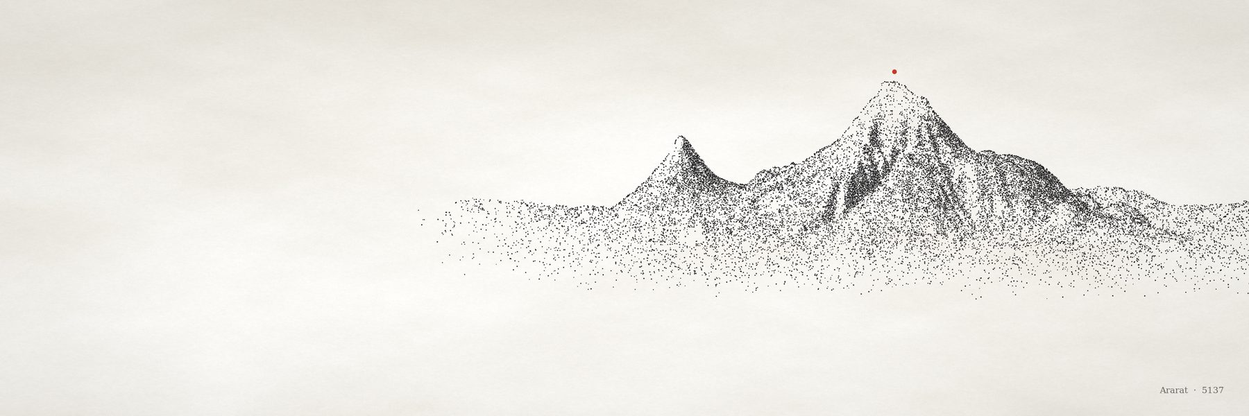 stipple |
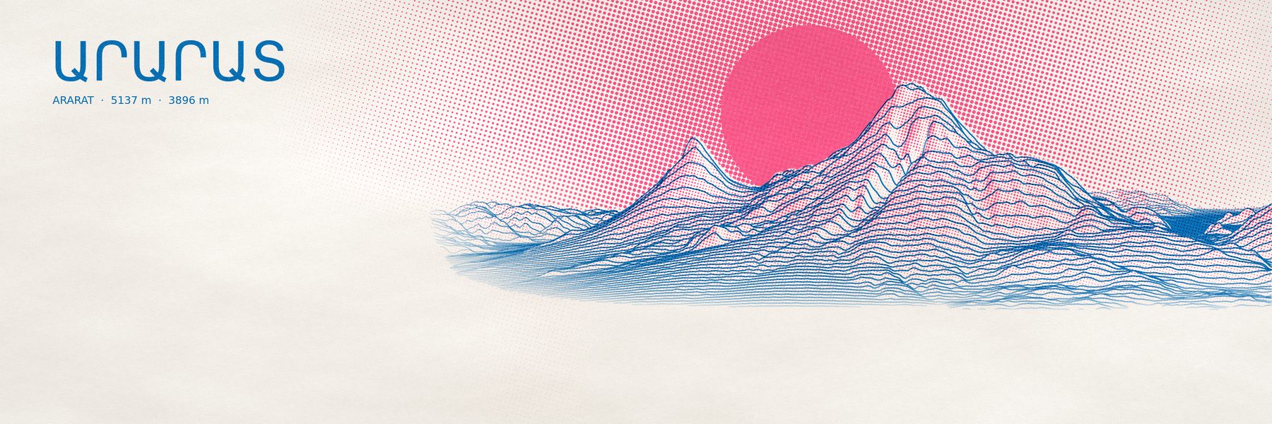 riso |
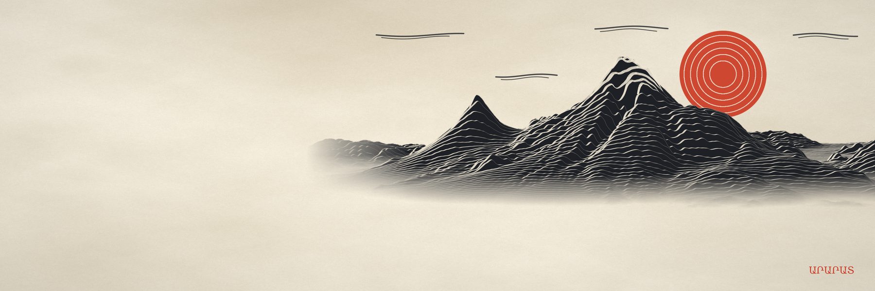 woodcut |
Any landform
The engine measures the ground around the summit before it frames anything: how steep the peak is for its footprint, what stands in front of it, how rough it is, whether it sits below a plateau. Cone volcanoes keep the original framing; horns, ranges, canyons and islands get their own.
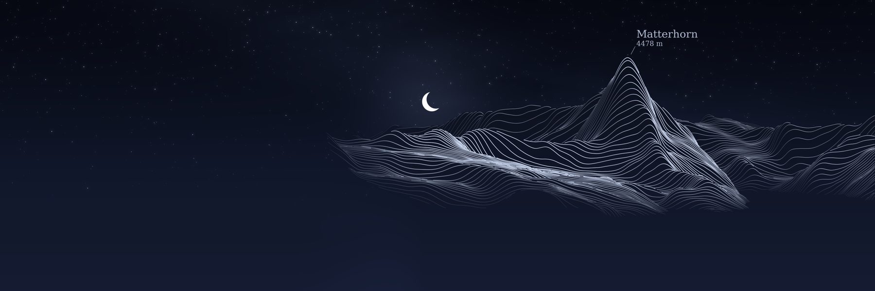 Matterhorn · horn |
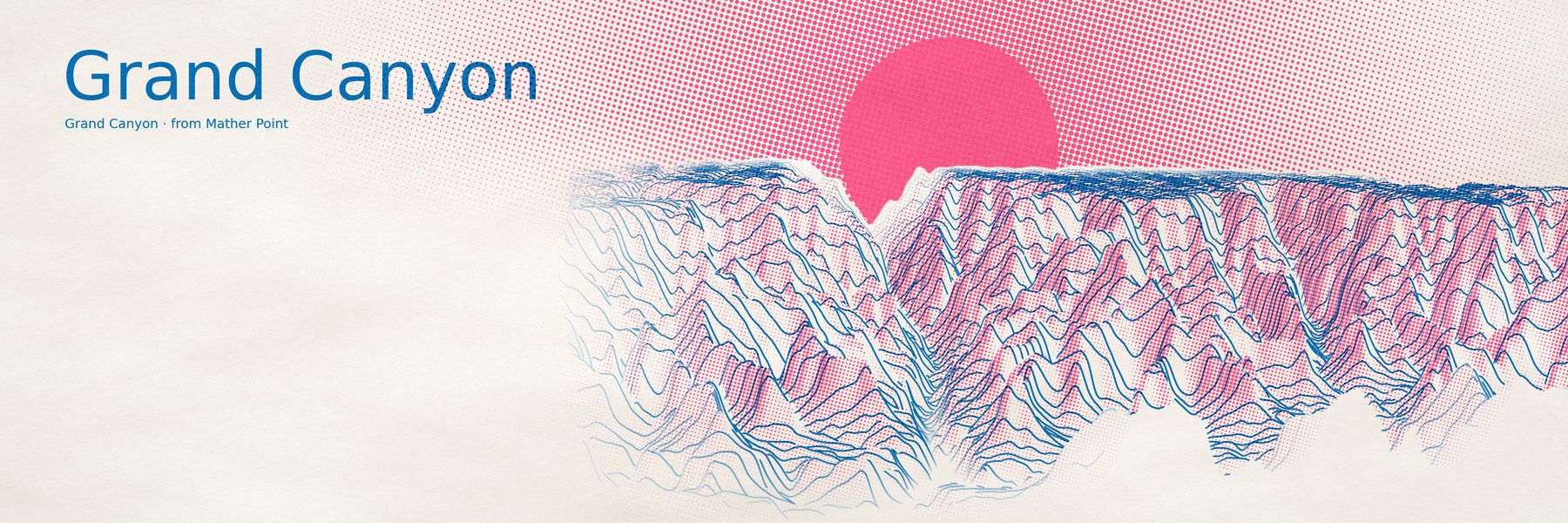 Grand Canyon · canyon |
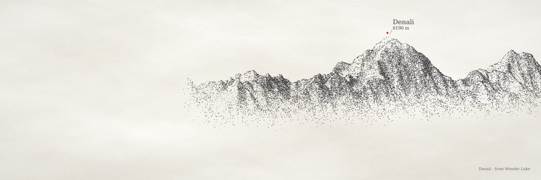 Denali · massif |
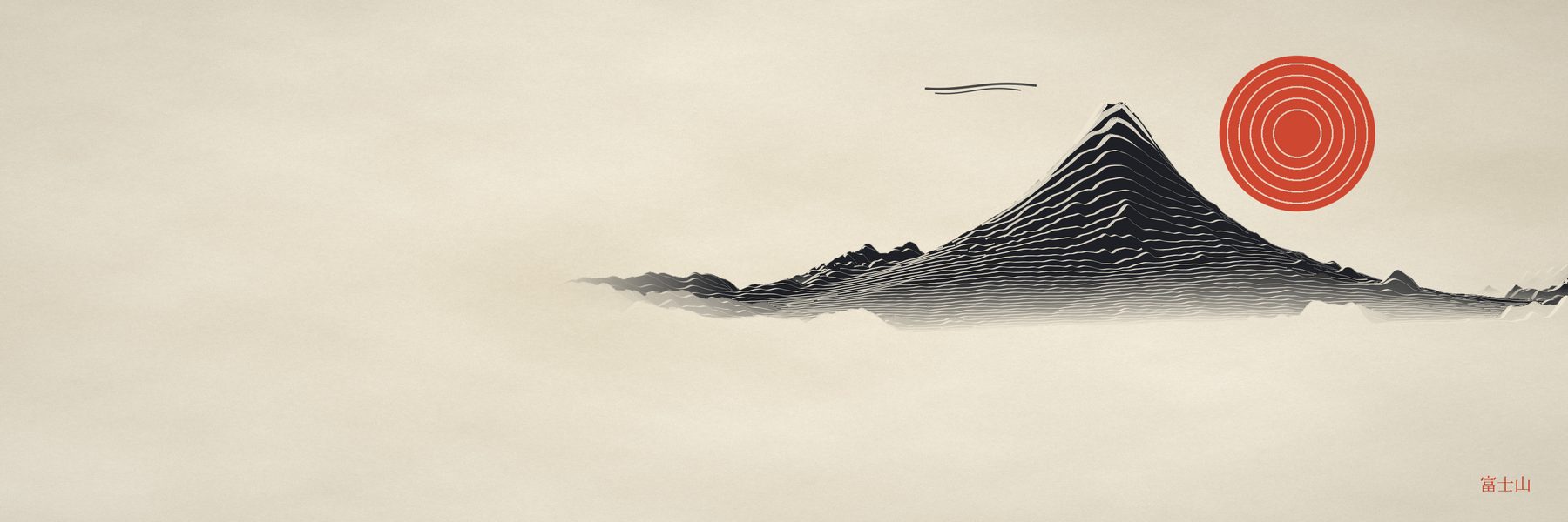 Fuji · cone |
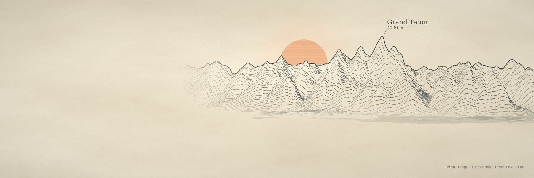 Tetons · range |
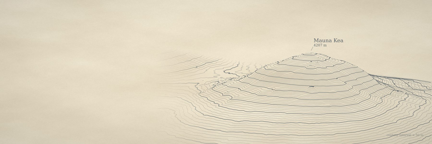 Mauna Kea · island volcano |
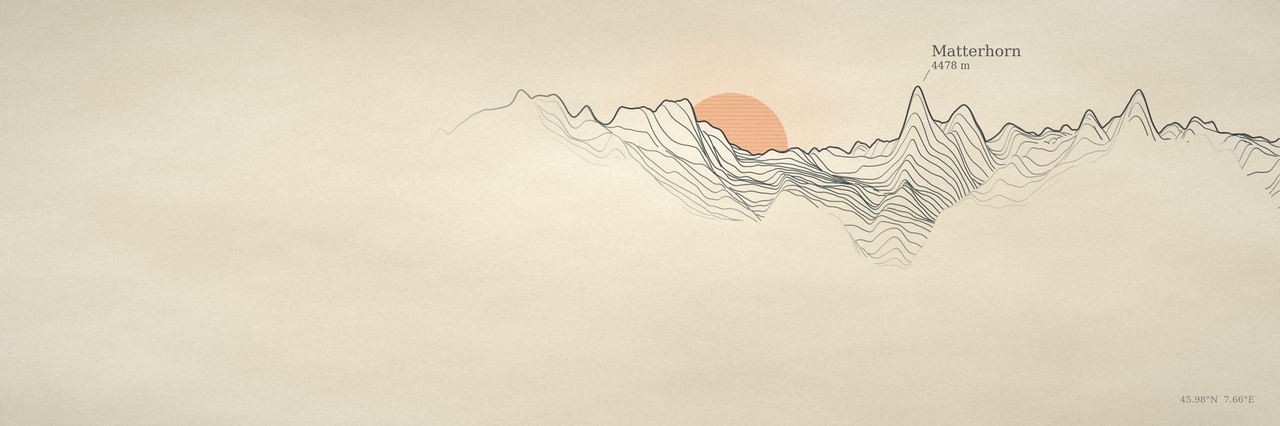
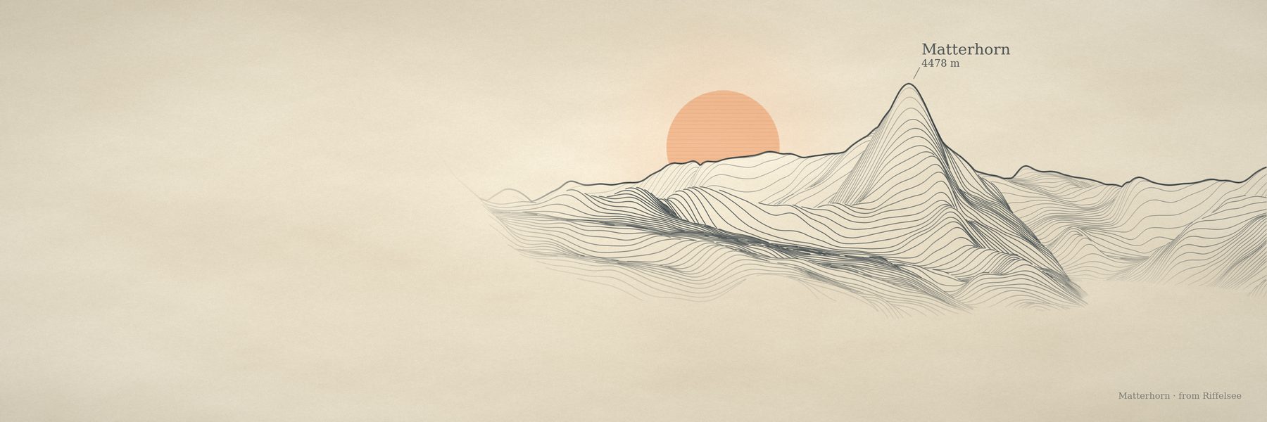
The first engine treated every mountain like Ararat, and the Matterhorn drowned in its own massif (top). Landform-aware framing raises the base from 1429 m to 2441 m and narrows the scene's half-width from 30.7 km to 10.8 km (bottom). Fuji, Ararat and Mauna Kea render identically before and after.
Toward a photograph
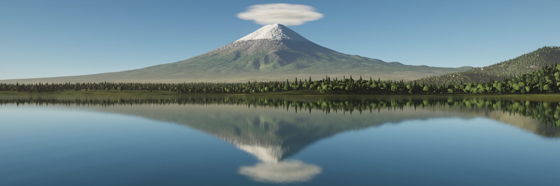
The same elevation, ray-marched through a physical atmosphere: Rayleigh and Mie scattering, soft terrain shadows, valley mist, a lenticular cloud with multiple scattering. Lakes reflect the terrain with Fresnel and ripple normals. Trees, villages, stone walls and fields are placed near the camera, and a city at dusk is lit along its real OpenStreetMap streets.
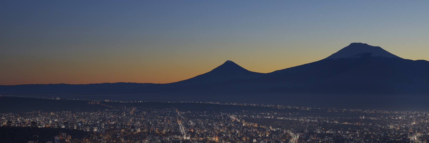 Blue hour over Yerevan, lamps on the real streets |
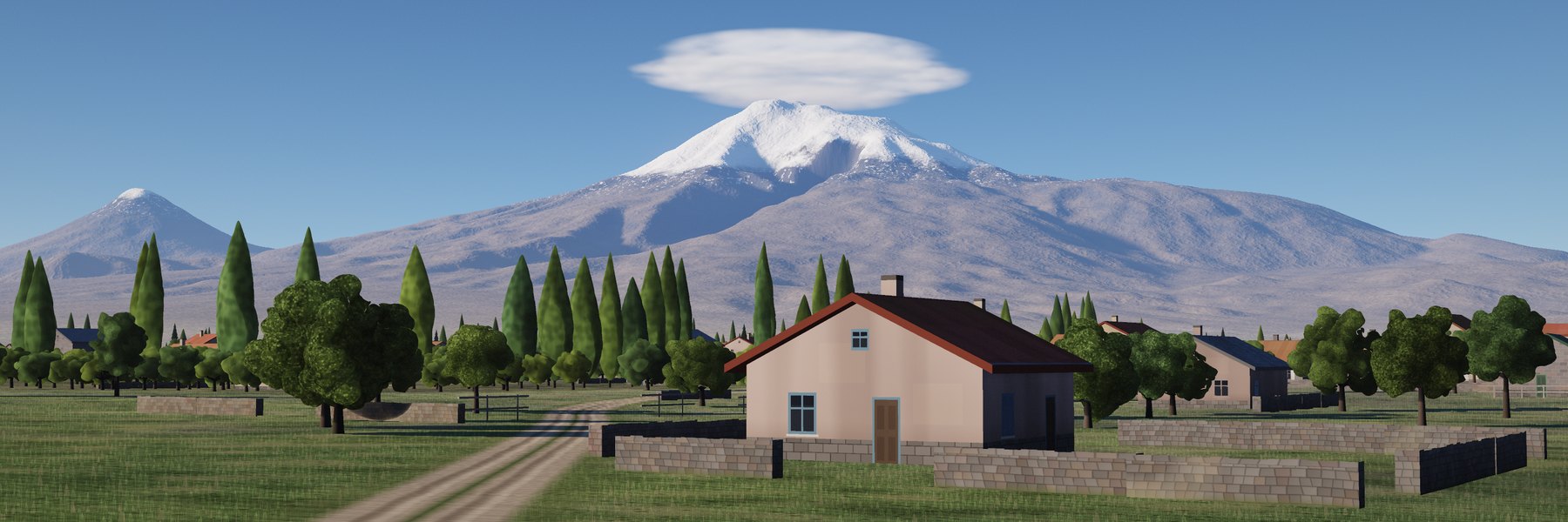 A village lane on the Ararat plain, camera 3 m up |
There's also a sunset timelapse along the real sun path for a date and place, from golden hour into night.
Glass, from scratch
A Monte Carlo path tracer in plain numpy. Scenes are small JSON files: spheres, boxes, prisms, cut gems, hollow glasses with liquid in them. Multiple importance sampling and adaptive sampling make glass converge about 6.7× faster and copper 12× faster than a plain sampler.
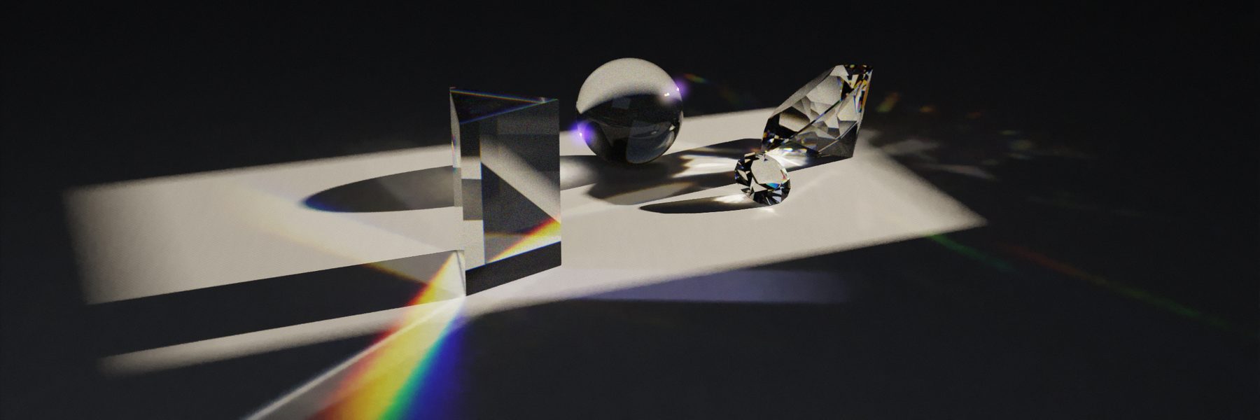
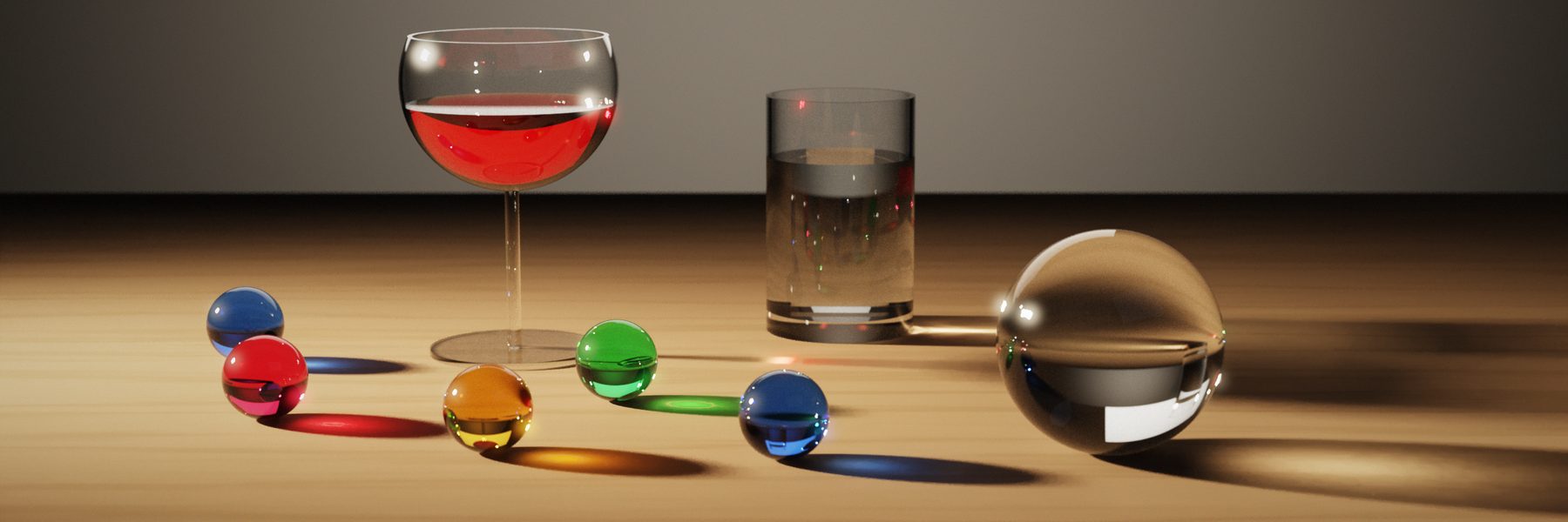 Wine and marbles |
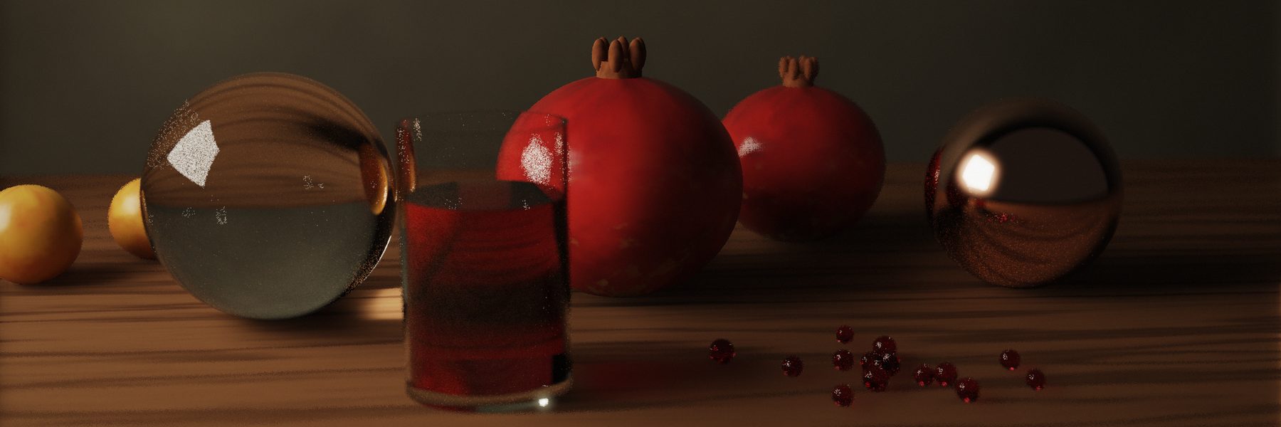 Pomegranates |
Then paint it
paint.py turns any image into oil, impasto, gouache, watercolour or ink, including a photo you give it. Brushes follow the contours of the picture; watercolour is built from transparent washes with wet edges and granulation.
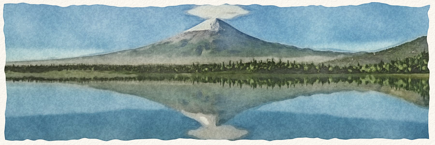 --style watercolor |
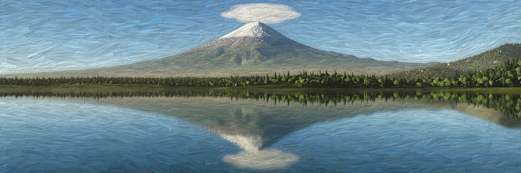 --style oil |
Install
Claude Code (recommended)
/plugin marketplace add dogum/procedural-art
/plugin install procedural-art@procedural-art
Both skills install together. Updates arrive with /plugin update.
Claude.ai, Cowork, cloud sessions
- Download
procedural-terrain-art.skillandprocedural-realism.skillfrom the latest release. - Open Claude.ai → Settings → Capabilities → Skills.
- Upload each file. Re-upload to update.
Manual, or any Agent Skills runtime
git clone https://github.com/dogum/procedural-art.git
mkdir -p ~/.claude/skills
cp -r procedural-art/skills/procedural-terrain-art procedural-art/skills/procedural-realism ~/.claude/skills/
pip install -r procedural-art/requirements.txt
Requirements: Python 3 with numpy, scipy, pillow, matplotlib and contourpy (requirements.txt); ffmpeg for videos; network access to AWS Terrain Tiles for elevation (no key), and for a city at night to the OpenStreetMap Overpass API (cached after the first run). Everything runs on CPU.
Try these
Once installed, just ask. The skills look up the summit and a real viewpoint, fetch the elevation, render a small draft, look at it, then render the final.
- "Make me an X header of Mount Rainier from Seattle in the engraved-line style."
- "LinkedIn banner of the Grand Tetons as a black woodcut, big TETONS title."
- "Show me Denali in every style so I can pick one."
- "A 6-second looping orbit of the Matterhorn at night."
- "Build me an interactive page to play with Mount Hood from Portland."
- "Mont Blanc reflected in Lac Blanc at golden hour, photographic, no image model."
- "Sunset timelapse of Kilimanjaro from Amboseli, into the night."
- "A glass of whiskey with two ice cubes on walnut, window light. No Blender."
- "Turn this photo into a watercolour."
Or run the scripts yourself. From any writable folder, with SK pointing at the installed skill:
SK=~/.claude/skills/procedural-terrain-art
python $SK/scripts/render.py --peak 46.8523,-121.7603 --from 47.6062,-122.3321 \
  --style survey --size 3000x1000 --label "Mount Rainier|4392 m" --out rainier.png
That exact command, unedited, on a mountain none of the tests use (15 s):
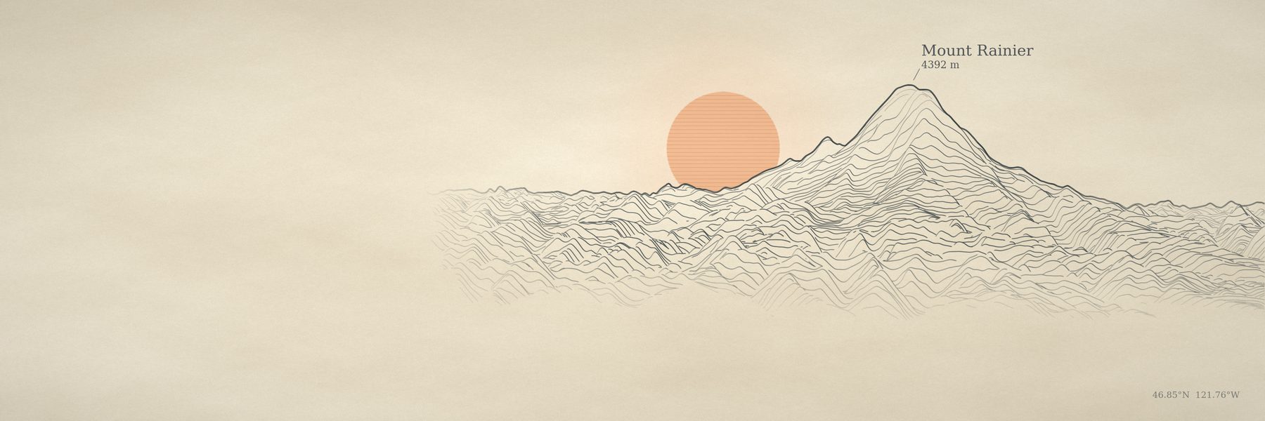
Each SKILL.md has the full workflow, and references/ covers the engine, scene format, terrain features and painting presets.
Studios in your browser
build_studio.py writes one HTML file (about 0.76 MB) with a 512 × 512 elevation grid inside. Orbit the mountain, move the light, change the ink, and save a 3000 × 1000 PNG. No server and no libraries; the only network request is for web fonts. Five are live on the site: Ararat, Fuji, Matterhorn, Denali and the Grand Canyon. The same pages work as claude.ai artifacts, where the Save button uses the artifact download capability: see the Ararat studio and the showcase on claude.ai.
How it works
Prints. Elevation tiles become a grid aligned with the camera, rows running away from the viewer. Rows are projected near to far with a perspective camera, and a floating horizon per pixel column hides anything behind what's already drawn. A G-buffer records which row owns each pixel, so every style can sample height, shade and snow per pixel. Everything is normalised to a reference mountain, so a 1 km hill and an 8 km giant both fill the frame without retuning. Engine notes.
Photographs. Each pixel's ray marches a 40 m heightfield (with Earth curvature) until it hits ground, then asks the sky how much light reaches that point and how much air lies between it and the camera. Near-field instances (water, trees, houses, lights) are traced separately. Renders run in resumable row bands. Terrain features · What we learned.
Glass. Unidirectional path tracing with next-event estimation, MIS, Russian roulette, Fresnel and Beer-Lambert absorption, spectral dispersion, and an adaptive sampler that spends samples where noise is high. Scene format.
Performance
One CPU core:
| Output | Time |
|---|---|
| Print style, 3000 × 1000 | 5–15 s |
| All six styles + contact sheet | ~40 s |
| Studio page | ~5 s to build |
| Photographic terrain, 3000 × 1000 | 3–12 min (resumable) |
| Timelapse, 20 s at 1200 × 400, every frame rendered | ~6 hours (resumable; --blend 2 halves it) |
| Clean still life, 2400 × 800 | ~1 hour (resumable) |
| Painting, 3000 × 1000 | 10–60 s |
Limits
What works and what doesn't: light, atmosphere, glass, metal and real terrain at a distance look right. Trees, houses and walls within about 60 m look rendered rather than photographed; city buildings are boxes with guessed heights; paintings soften fine detail on noisy sources; organic shapes like petals are out of reach for the path tracer. The skills say so when a request lands there.
Repository layout
.claude-plugin/               plugin.json and marketplace.json (Claude Code)
skills/
  procedural-terrain-art/     SKILL.md, scripts/, references/, assets/studio_template.html, evals/
  procedural-realism/         SKILL.md, scripts/, references/, scenes/*.json, evals/
evals/                        claude plugin eval cases (should-trigger, should-not-trigger)
docs/                         GitHub Pages: the showcase, the Any mountain app (docs/app), five studios, media
scripts/                      build-skills.sh (the Claude.ai packages), build-app.py (docs/app/engine.js), regression_terrain.py
Both skills ship the same scripts/dem.py; the build refuses to package them if the copies differ.
Evals
claude plugin eval . --allow-tools Write Bash
Four should-trigger cases render real drafts and have an LLM judge look at the PNG; four should-not-trigger cases (Blender settings, a Midjourney prompt, a QGIS how-to, a plain fact) assert neither skill fires. Each skill also carries skill-creator evals. See evals/README.md.
Contributing
Pictures welcome. See CONTRIBUTING.md: change a skill, render a small before/after, run scripts/build-skills.sh, and if you touched the terrain engine, run the regression sheet. Made something with the skills you're proud of? Open an issue with the image and the prompt.
Credits
Elevation data: Terrain Tiles on AWS (SRTM, GMTED, ETOPO1 and other public sources; see the attribution list). Street data for the city lights: © OpenStreetMap contributors, available under the Open Database License. Summit and viewpoint coordinates were looked up from public sources for each example. Built with Claude.
License
Reviews (0)
Sign in to leave a review.
Leave a reviewNo results found